Terrain Overview
Walk Overview
A lovely walk along good paths with a beautiful summit and Tarn.
A must do short walk in the Patterdale area
Along the A592 towards Patterdale, a path between a row of cottages at
Deepdale bridge marks the start of this walk
Follow the path for a short distance to arrive at a gate that gives open access
across a field that leads to Goldrill Beck. Basically we are aiming for the path
that slopes gently up the side of Dubhow Crag
Hartsop Dodd and Caudale Moor from the path
The path continues over a bridge to cross Goldrill Beck
Over the bridge and the path doubles back on itself initially to reach
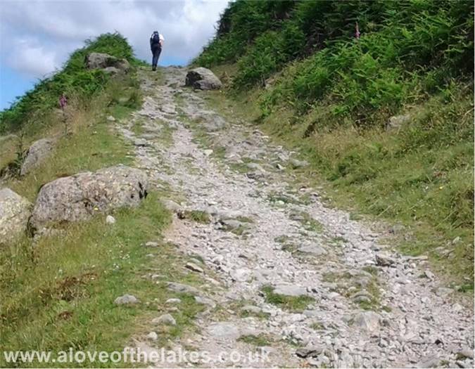
the foot of the long sloping climb to Boredale Hause
On the path properly now as it climbs gradually up to the Hause
The South shore of Ullswater
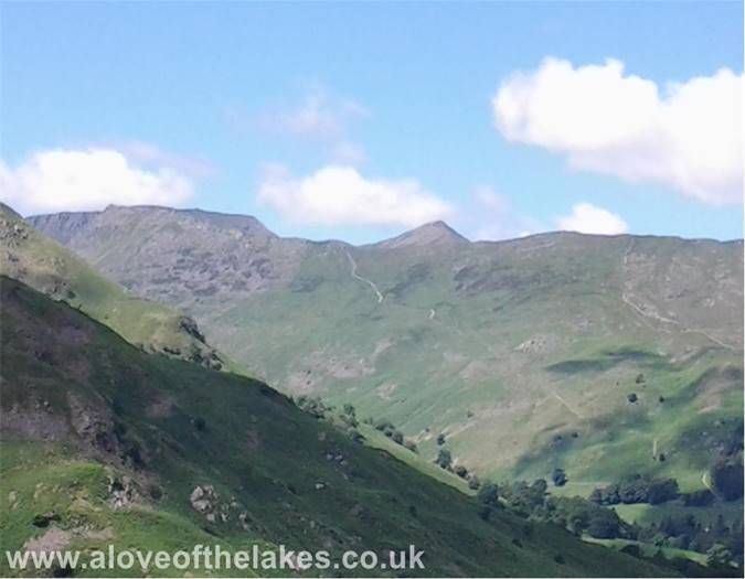
Looking over to Helvellyn and the sharp peak of Catstye Cam. The path leading
up to the "hole in the wall" can be clearly seen
Eventually we reach the marker cairn at Boredale Hause which is a
convergence point for a number of paths that lead to and from a good
number of Far Eastern Fells
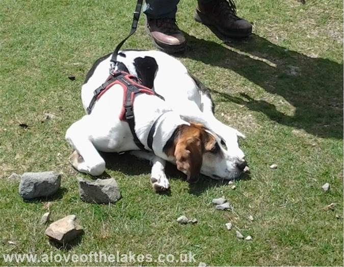
We stop briefly and chat to the owners of "Nell" who is quite frankly buggered
and does not wish to go any further
After a short break, we head up the path that continues on to the Pikes,
whilst Nell`s owners debate how much further to continue
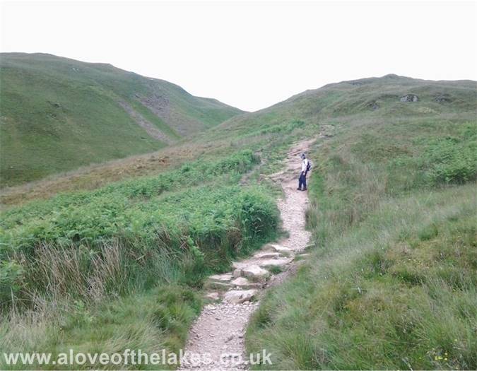
The path is clearly defined and passes through a short ravine between
Rake Crag and Stony Rigg
Looking back in the opposite direction towards Place Fell
The cairn markers lead the way towards Angle Tarn
Looking towards Brothers Water, High Hartsop Dodd and Middle Dodd
Just slightly further along the path, and for the first time you get a glimpse
of the twin summits of Angletarn Pikes. There is no discernable path as such -
it`s just a matter of heading upwards towards the ridge line
The summit cairn of the South tower with Angle Tarn below - stunning !!
Surveying the scenery, it`s just awesome up here, and definately not somewhere
that you would want to leave in a hurry
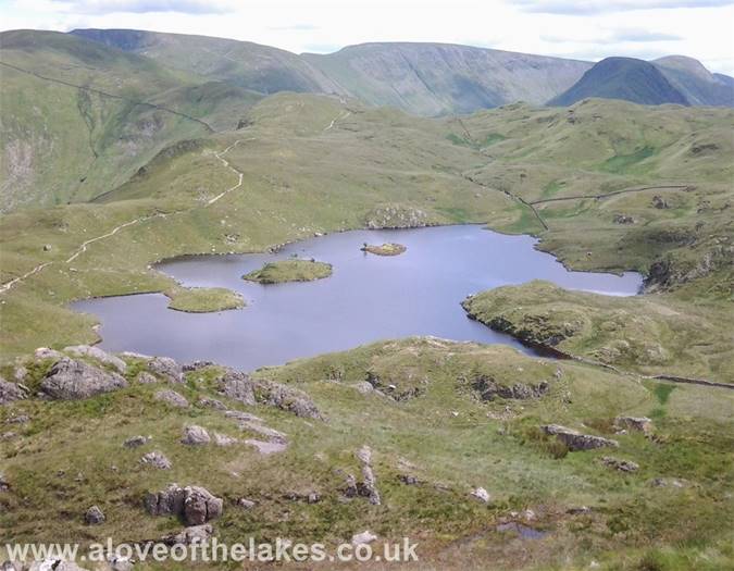
The full extent of Angle Tarn
Down at the Tarn with someone cooling off in the best possible fashion


