Terrain Overview
Walk Overview
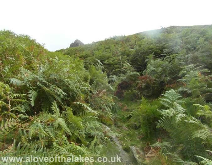
The ascent I took for this walk from the road side leading up to Mardale Head was
particularly steep and at time pathless through dense bracken. Something that
really takes resolve
Driving past the North end of Ullswater on the way to Mardale
Kidsty Pike from the road leading to Mardale
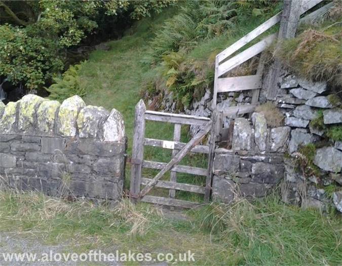
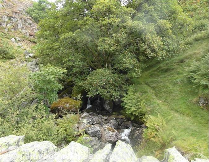
This small wicket gate by the side of Hopegill Beck waterfalls is the
start point for this walk
To the right of the waterfall is the faintest of grass tracks veering up right
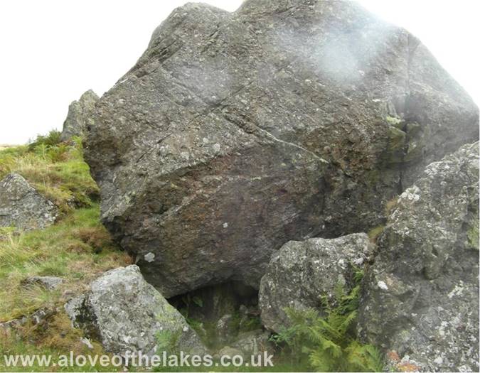
The path turns non-existent. However, you need to aim for "Hollow Stone"
peeking up through the bracken
Keep parallel with the Beck until you reach the old sheep pens at which point
veer off to the right
Looking back to Haweswater and the Rigg
The low water line in the Reservoir was noticable
Eventually we reach Hollow Stone
Thankfully now out of the bracken and a view of the ridge route to High Street
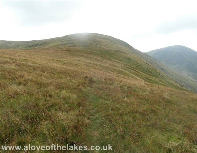
There is now the faintest of paths to follow upwards across the grass
Getting closer to the summit and I`m desparately wanting to see Artlecrag Pike
to confirm we are on the right track
At last !! - the summit is close
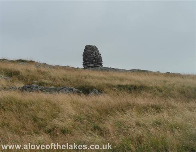
Whilst not the actual summit, it does signify the end of a difficult ascent
Heading out past the subsiduary cairn towards the Survey post,
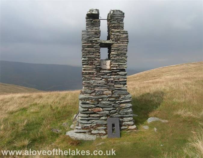
the small column in the centre of the shot
Selside Pike is just over half a mile away and the fence line connects
the two summits
The Survey post built by Manchester Corporation
Heading on to the summit of Selside Pike
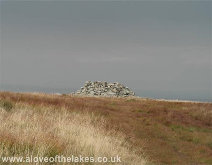
The summit shelter cairn on Selside Pike
After returning to Branstree we followed the fence line South towards
Mardale Head to get the track back down
We follow the track as it swings back down towards Haweswater
Looking towards Harter Fell
Nearly back down now
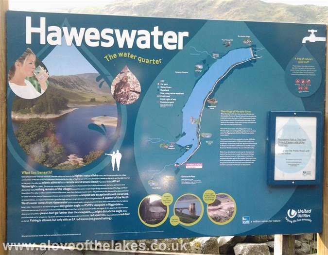
What Haweswater is all about


