Terrain Overview
Walk Overview
The route depicted by AW in Book 4 (Southern Fells) describes the ascent of Cold Pike
from the Wrynose Pass starting at the Three Shire Stone. This is obviously the easiest
route to the top as a lot of the altitude is gained by car journey up the Pass to the
start point. From there a well defined path can be picked up with little deviation to
the summit
The car parking area on the Wrynose Pass near the Three Shire Stone
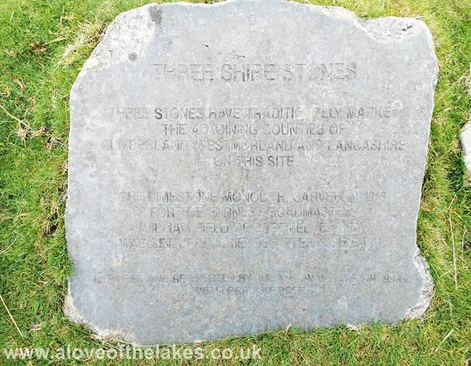
The Three Shire Stone
From the parking area at the side of the Pass, look out for a wooden sign post
that indicates the start of the path
Starting out on the track
The path crosses a small stream which at this time of year is easy to cross
Over the stream and the path is stepped to assist with the boggy ground
The path gradient eases off after a short while and threads its way through
a series of small moraines
The first objective is to reach the Col between Pike o Blisco and Cold Pike
near Red Tarn
Higher up now and reaching the point where we turn left and climb up to the
Cold Pike ridge line. At this point you now start to get good views of
Crinkle Crags and Bowfell
Just before you reach a very neat small cairn (pictured top right) another very
subtle and minor path turns off to the left
Following the grass path over very boggy ground to get on to the ridge line
Crinkle Crags and Bowfell from the path
The grassy trod is just about discernable as it leads to the ridge line
Heading towards the summit of Cold Pike
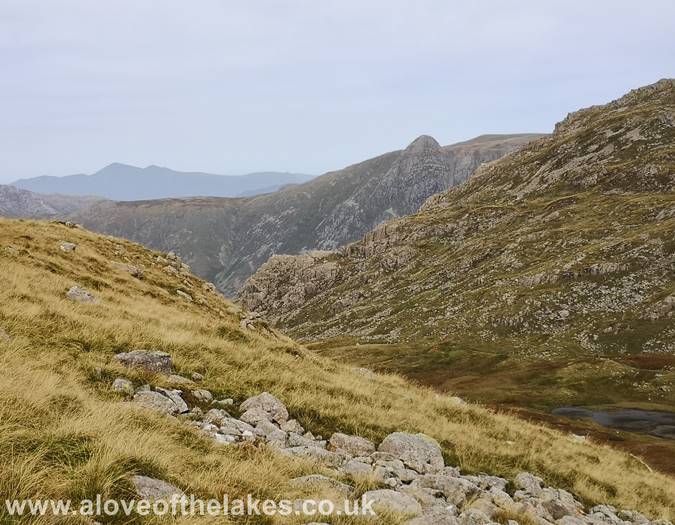
Looking across to Pike o Stickle from the summit approach path
Looking towards Pike o Blisco from the path
Approaching the top. There are three summits to choose from. We plumped
for the middle one which seemed the most obvious
The cairn on the middle summit. Click here for a 360 degree view
Had we have stayed on the main path it would have led directly
to the start of Crinkle Crags
Looking over the South tower of Cold Pike towards a hazy Windermere
Looking towards the Langdale Pikes and Pavey Arc
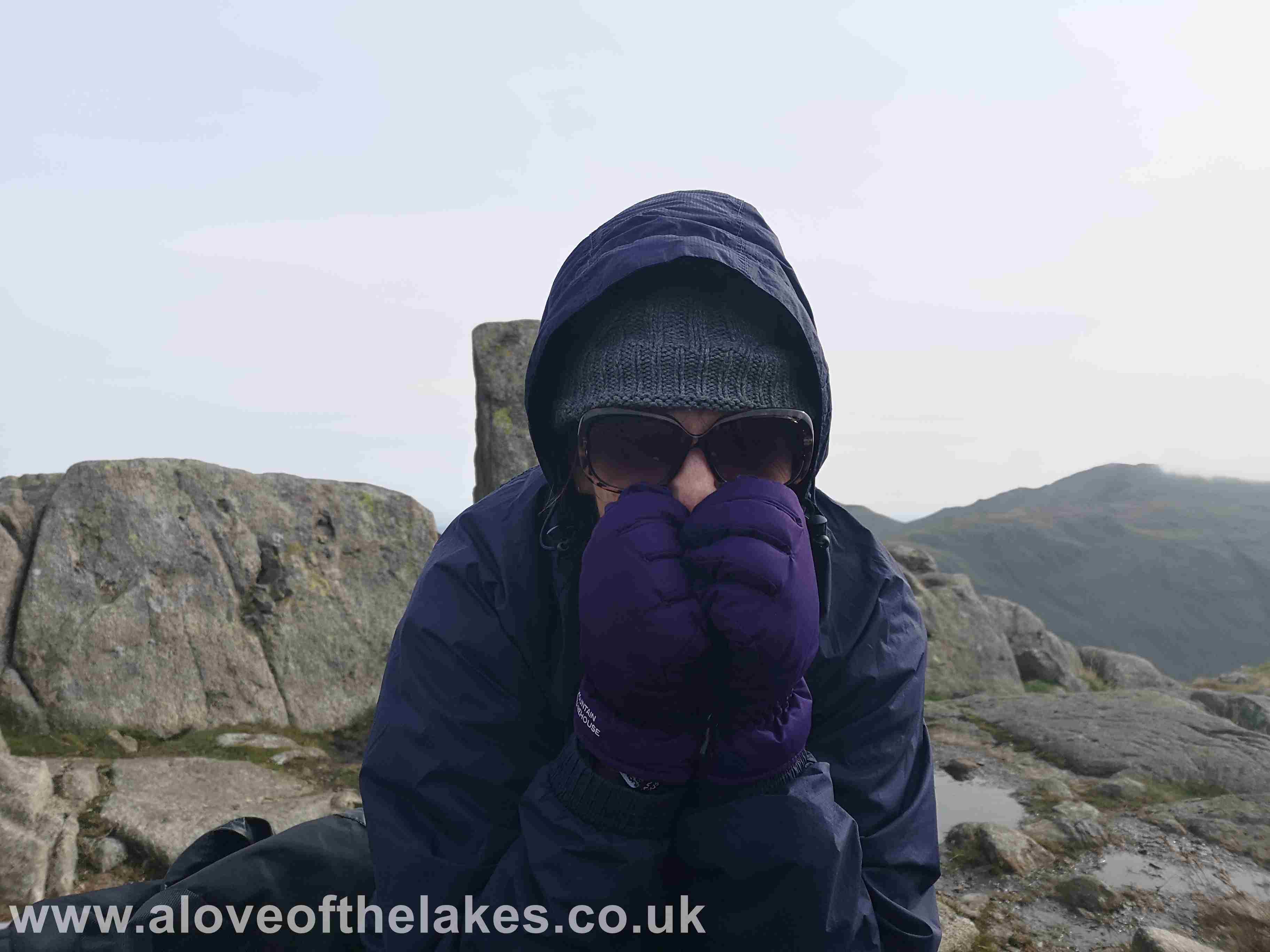
Cold Pike lived up to its name as Sue can testify
Looking South towards Hard Knott
As we descended, the Air Ambulance helicopter flew over and made a dramatic
beeline towards the Langdale valley
The weather started to clear on the way down (typically) as we headed
back to the Wrynose Pass and provides a decent view of
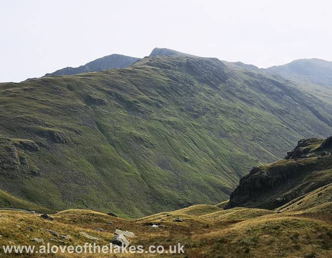
Great Carrs, Grey Friar and Coniston Old Man


