Terrain Overview
Walk Overview
A highly contrasting day compared to the previous Saturday and our walk
up Causey Pike. Gone the sun and blue sky to be replaced by the threat of rain
and extreme high winds at any elevated height. A highly recommended walk
with some breathtaking views over Buttermere and Crummock Water in spite
of the low cloud.
The walk starts at Waterend in Loweswater. Near a public phone box there is
ample free parking for several cars
Over the road from the call box, a concrete path leads towards Askhill and
the Mosser Road. Yes guys it`s that way
The tarmac soon gives way to a stony track
Looking towards the North tower of Mellbreak from the path
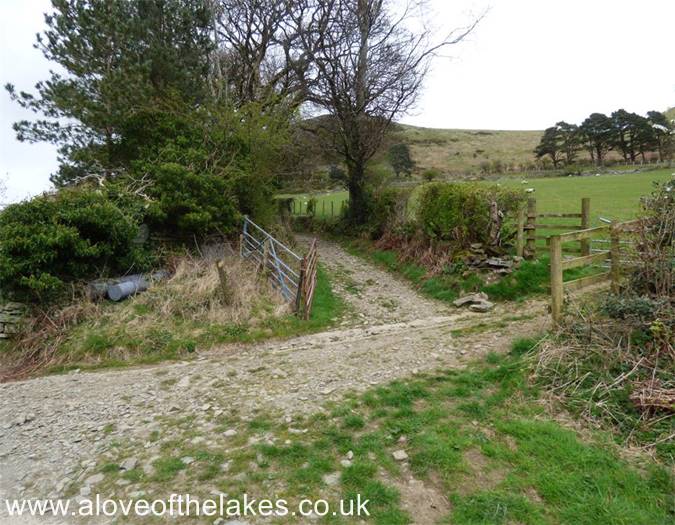
At this junction continue straight across up the tree lined track
Out of the wooded area and the path turns grassy and leads through
two wooden gates
This rusty old plough has well and truly embedded in the ground
as we cross the upper field
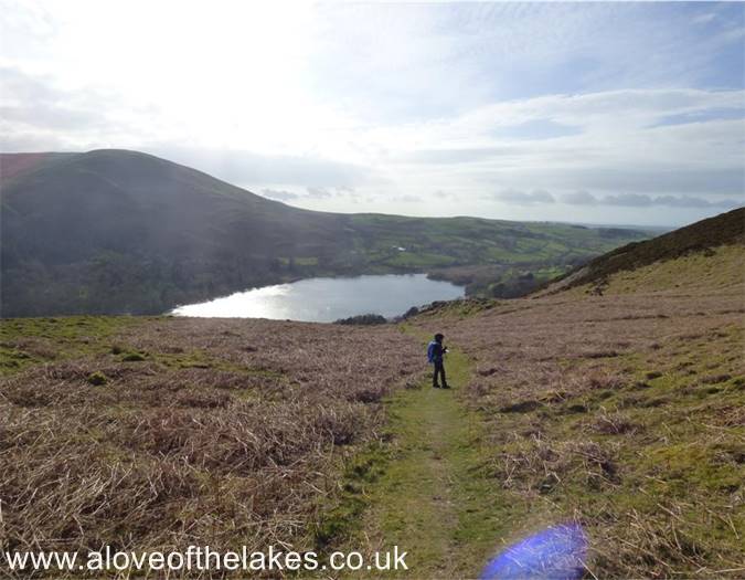
Looking back towards Loweswater
Go through the second gate to get onto the Mosser Road properly
Stay on the road now for a good half mile or so
Pass a couple of gates on the right and eventually an area opens up
that provides access to the open fell side through a five bar gate
Parts of the track can get really boggy as it approaches the higher ground
The track climbs through an area of gorse, but is clearly defined throughout
Through the gorse and a faint grass path leads across to the summit of Fellbarrow
The summit Trig Point comes into view
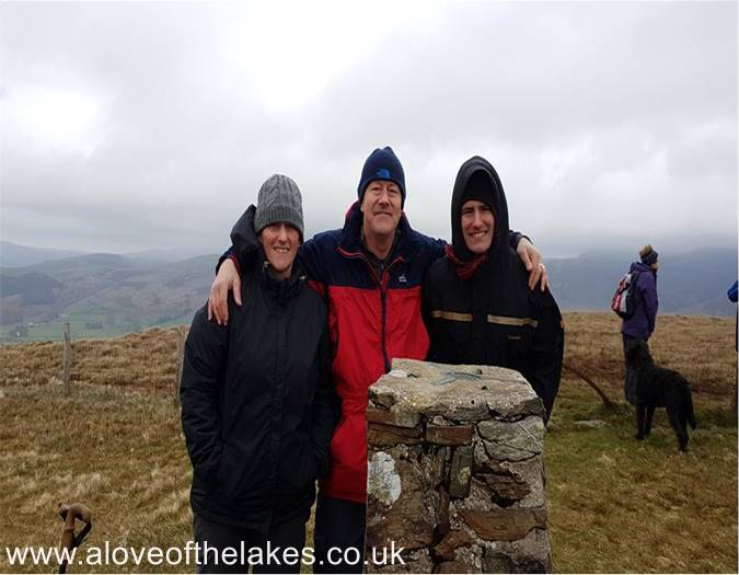
The summit of Fellbarrow. At this point the full force of the wind could be felt
Click here for a 360 degree view from the summit
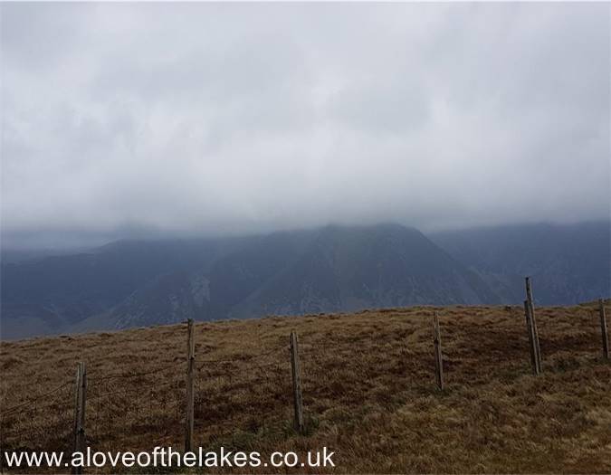
If the cloud would have permitted, a view across to Whiteless Pike and Grasmoor
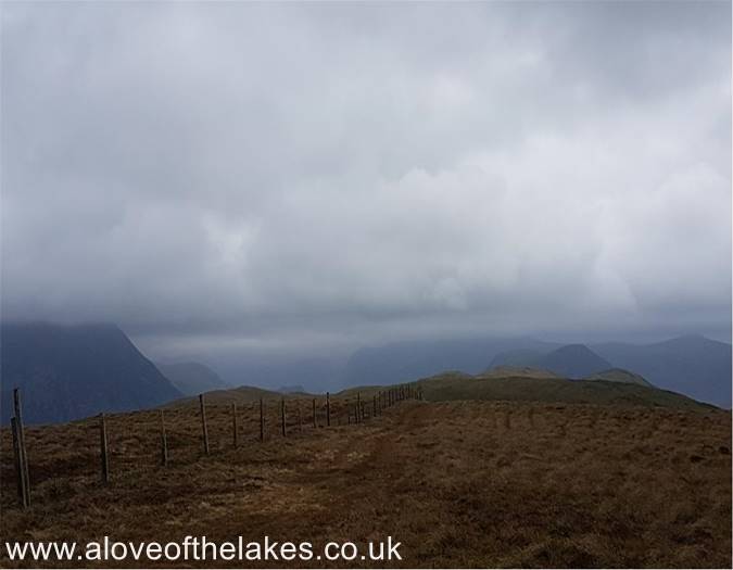
The connecting ridge to Low Fell
Looking towards Crummock Water
As we approach Low Fell, the views open up even further
Heading towards the summit of Low Fell
Batten down the hatches in the teeth of a mini hurricane, and it was freezing !!
Click here for a 360 degree view crom the summit of Low Fell
The return back to Loweswater round the side of Darling Fell
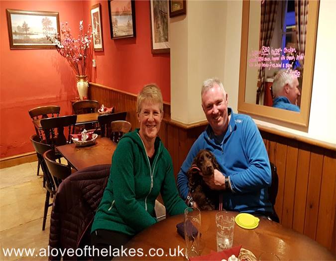
We journeyed to the Wheatsheaf in Embleton to meet up with some professional
fell walkers ... Angie & Dave Walsh and of course Fudge (aka The Masarnen Ramblers)
who have since moved from Wales to Lakeland.


