Terrain Overview
Walk Overview
This short walk can be extended by walking around the perimeter of High Dam
which would make it a 4 mile jaunt (not described in this blog) as time was against us.
The important point to know is to locate the correct path from the side of the Dam that
leads to one of the most nondescript summits that you will experience during
the course of your 116 Outlying fells journey. It`s hard to understand why AW
included this walk in Guide Book, he even said "This is not Fellwalking"
We journeyed to Finsthwaite via the road that passes to the left of the Swan
at Newby Bridge. There are two car parks, this one is very convenient for
the start of the trail
There is an Honesty box just inside the gate
From the car park turn right and follow a good track into the wooded area
As you approach the second pay and display car park, turn left through a gate
Through the gate and a good path runs parallel with a stream
At the first junction take the right hand path
The path rises gently
Take the right hand fork that climbs up towards Low Dam
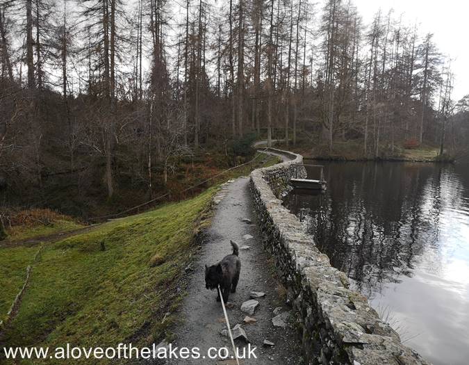
The path skirts the side of Low Dam as it heads towards High Dam
Approaching High Dam, prepare to turn left
High Dam
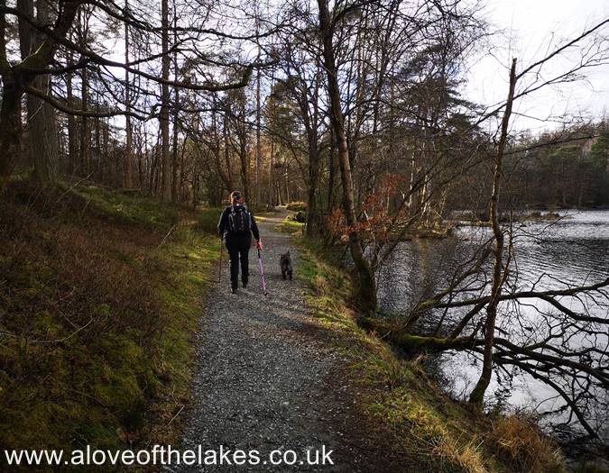
On reaching the Dam, turn left and follow the path towards the wooded area
Entering the wooded area
It`s so important to keep an eye out for the left turn that leads
towards the "so called" summit
The path drops slightly as it leads to a wooden gate
Go through the gate. At this point the path becomes VERY sketchy and you just have to
follow your instinct (or Sat Nav) to reach the high point
The ground turns really boggy. We followed this grassy trod which we hoped
would take us towards the high point
We aimed for the right hand side of the two Pine trees. Fortunately this section
of the trail was devoid of bracken, but during the Summer months it is reported
to be shoulder high. we were very thankful
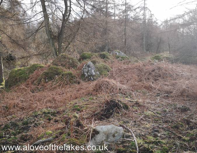
Past the two Pine trees, and there is a clearing area of very rough ground.
This - believe it or not is the designated high point of Finsthwaite Heights.
Its basically up to yourself what you chose to be the highest point as AW
stated in the Guide book "No definite summit"
We chose this rock outcrop to be the summit. Click here for a 360 degree view
(But believe me it`s not worth it !!)


