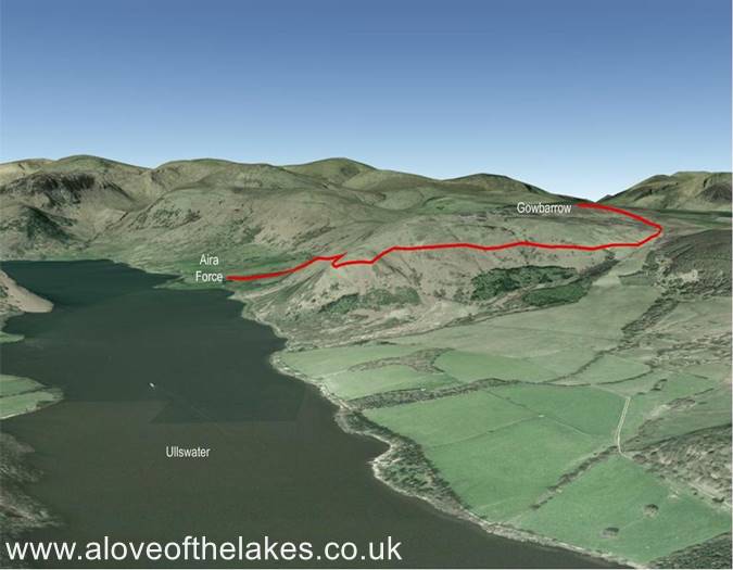
Terrain Overview
Walk Overview
Our week long stay in Ambleside was blighted with bad weather which limited our
fell walking excursions. We had attempted Gowbarrow a few years back but had
to abandon due to a very heavy storm. The walk itself from the Aira Force car park
along the Kirkstile path is a really good route with plenty of stunning scenery across
Ullswater, making it an ideal family walk
The car park at Aira Force, at the time of writing this it was £6 for 4 hours
At the bottom end of the car park near the Info Hut a path leads out that
runs parallel with Aira Beck
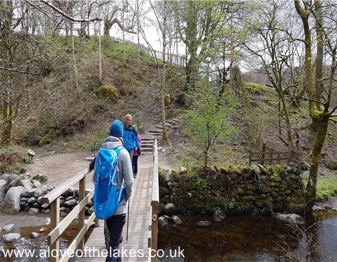
After a couple of hundred yards an iron gate in the wall leads to a foot bridge
that crosses Aira Beck
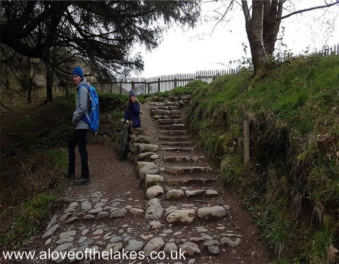
Crossing Aira Beck to follow the stepped path that cuts through the wooded area
At the end of the stone staircase take the right hand fork in the path.
The left hand fork is one of the many trails that leads to viewing areas
around the waterfall
Not long after branching right, a wooden gate gives access to the open fell side
that gradually climbs the Eastern flank of Gowbarrow. This is the Kirkstile path
and passes Lyulph`s Tower on the right
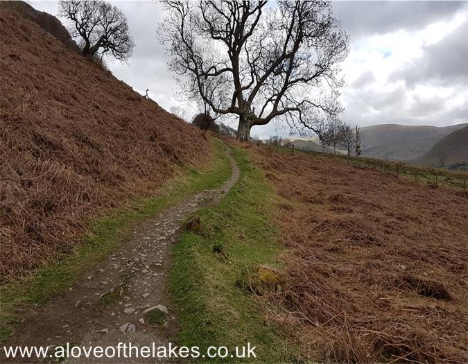
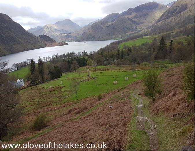
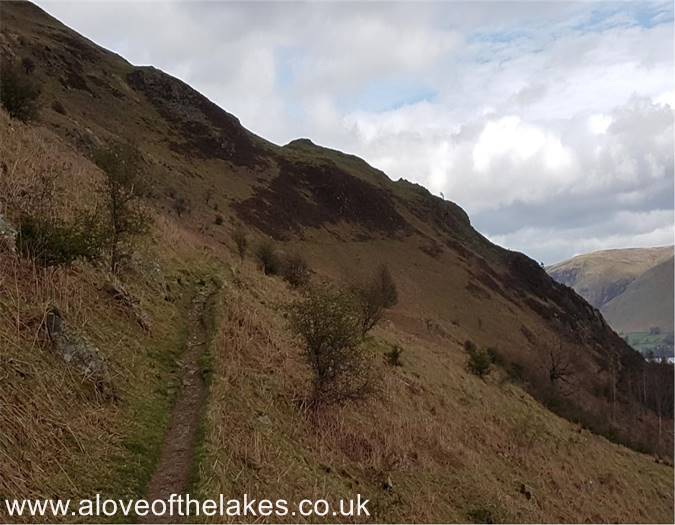
Starting out on the Kirkstile path - by far the most scenic route to the summit
Looking back to the start of the path as we pass Lyulph`s Tower
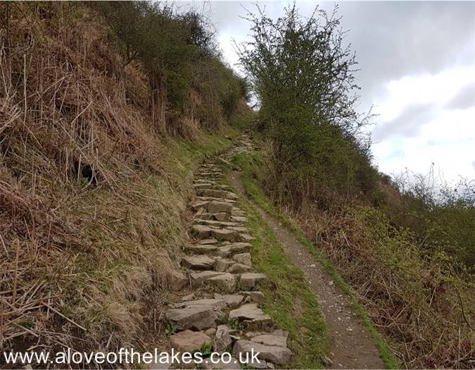
After a few hundred yards of fairly level walking, the path steepens as
it approaches a stone staircase
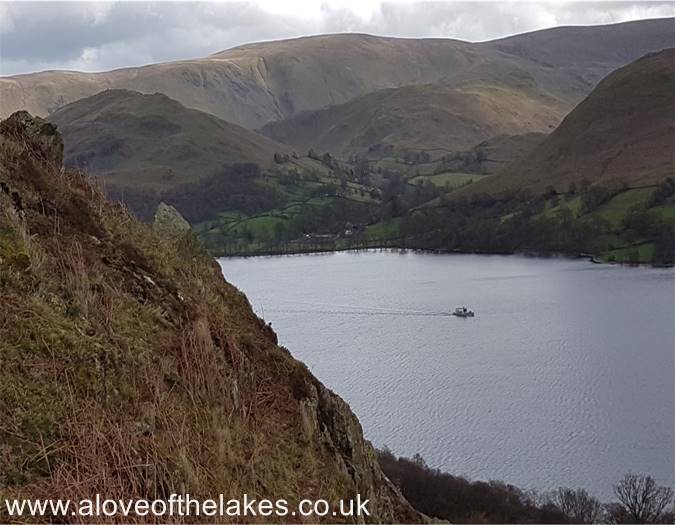
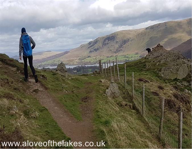
Looking over Ullswater towards Hallin Fell and the whaleback ridge
that leads over Bonscale Pike and Loadpot Hill
Looking back towards Lyulph`s Tower
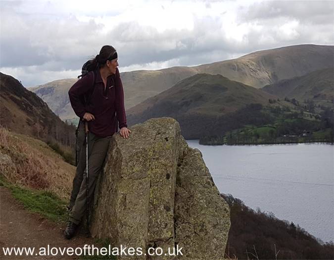
Sue pauses at a convenient resting place to take in the views
The path heads gently up towards Yew Crag
At a prominent wind shelter cairn take the left fork in the path
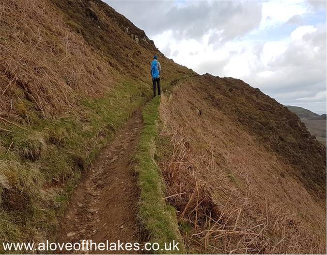
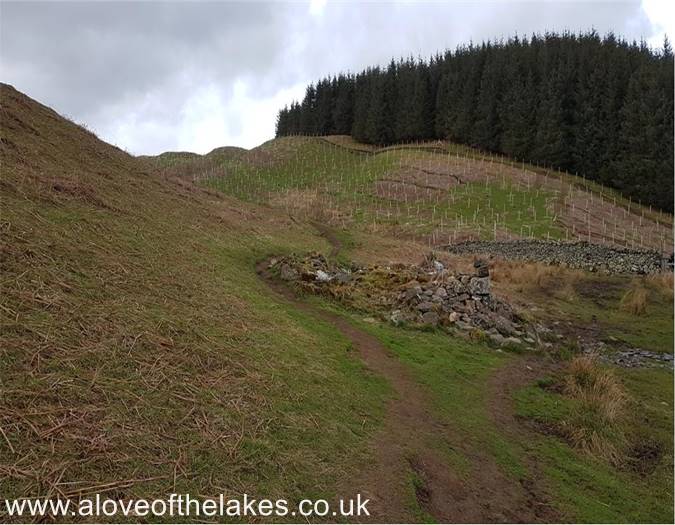
The path is well defined as it meanders round the Northern end of Gowbarrow
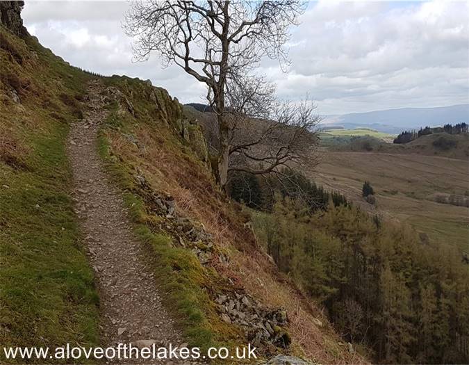
A lone tree at the end of the Terrace is the marker point that leads down
to an old Shooting Lodge
The demolished shooting lodge. From here the path swings left and makes a
beeline towards Airy Crag (the summit feature on Gowbarrow)
First sight of the summit
Whilst the sign shows the direction of travel correctly, it is telling fibs that the
Crag is only 250 yards away. It is more like a third of a mile, but easy walking
As the path rises towards the Crag it follows a route that goes behind what you
see here and is a very convenient way to the summit
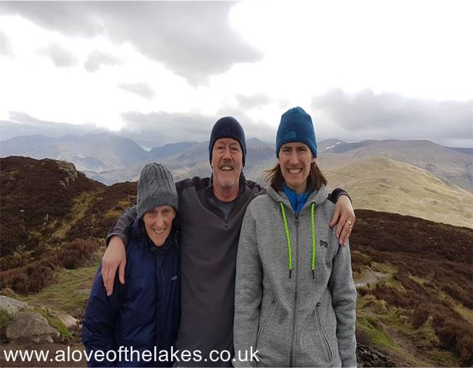
The summit of Gowbarrow Fell. Click here for a 360 degree view
A freezing cold summit
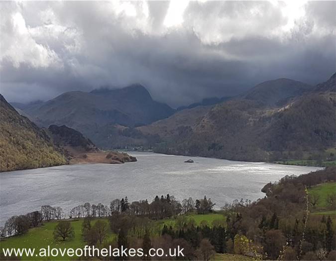
Looking back down Ullswater as a storm approaches
After staying on the summit for 20 minutes we had to quickly get back down
as the weather front came in
Nearly back down just as it starts to lash down


