Terrain Overview
Walk Overview
This route described is the safest way of all the routes that lead up to Scafell avoiding
all the challenges of Lords Rake & Broad Stand. However, it is a challenging route in the
heat of this particular day. The path from Wha House Farm is initially easy to follow
in the ascent as the first objective of the day (Slight Side) comes in to view early
along the track and can be used as a beacon throughout. Note well the bland
features on the way up to Quagrigg Moss as they will be vital to locate when / if you
return via this route. The path from Slight Side to Scafell is not well defined, however in
clear conditions just aim for the massive bulk in front of you along first a grassy area
eventually turning in to a scree boulder field. Otherwise no issues
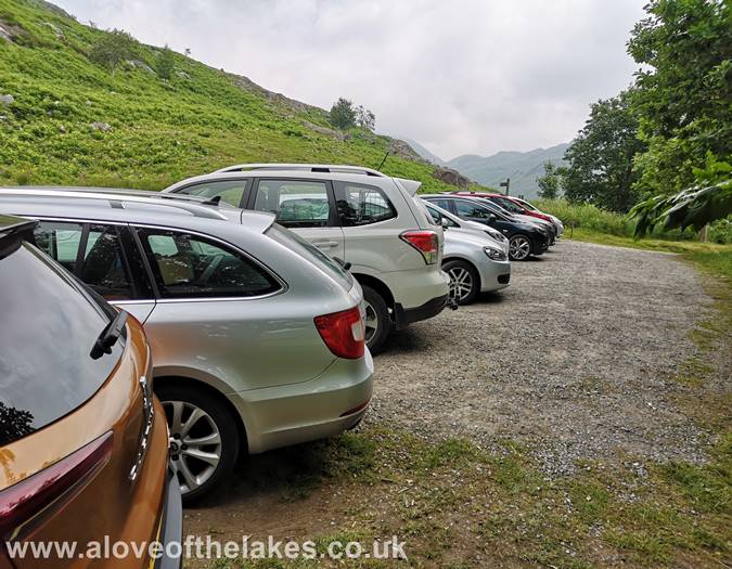
From the A590 leading to Broughton and then the minor roads to Foxfield, Ulpha
and Eskdale follow the signs for Eskdale Green, Dalegarth Station. The start point for this
walk is just slightly further on from the Station along the bottom reaches of the
Hard Knott Pass. A small car park opposite the Farm accomodates around a dozen
or so vehicles and is free of charge
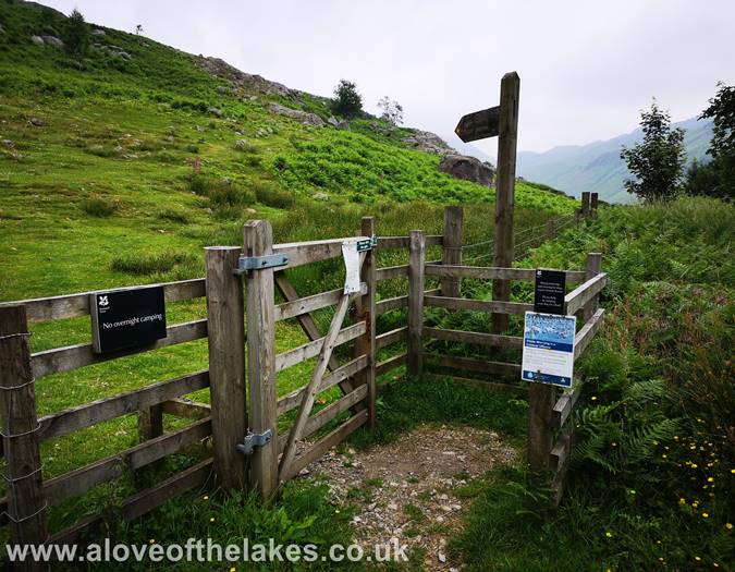
At the Northern end of the car park a hand gate leads on to the open fell side
of Goat Crag. This climbs steadily along the face of the fell towards Quagrigg Moss
The path climbs steeply initially before it levels off somewhat near a wall
with sheep pens
Go through the hand gate and the sheep pens and remain close to the wall
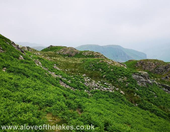
The path climbs gently through a large area of bracken
Once on the footpath it is easy to follow initially in spite of the dense bracken.
It`s worth making mental notes of various landmarks as you see fit, as it will
assist greatly on the return
The first sight of Slight Side with Scafell behind shrouded in mist. The path threads
through a set of moraines, do well to note the layout
Here we have emerged from the col in the centre of the shot and looking
back to Harter Fell shrouded in mist
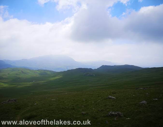
On the track proper now across Quagrigg Moss and heading for Slight Side
Looking towards Seatallan from the track
Approaching the start of the scree section. A decent majority of it can be avoided
by navigating towards the grassy areas where possible
Looking back across Quagrigg Moss towards Harter Fell
Loooking across over Burnmoor Tarn towards Whin Rigg and Illgill Head
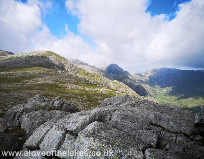
Looking across to Crinkle Crags just emerging from the mist
The path through or alongside the scree is easy to follow. There are two summits to
choose from both of which require a little scrambling over rock
On the summit of Slight Side looking towards Cam Spout Crag on the right
and Scafell towering in the centre. Click here for a 360 degree view
Looking along the ridge line of the Scafell massif with the prominent height
of Ill Crag in the centre
We set off for Scafell. There is no particular path as such, we just aim to skirt
the left hand shoulder of Cam Spout Crag
Looking North West over to Steeple, Scoat Fell and Pillar
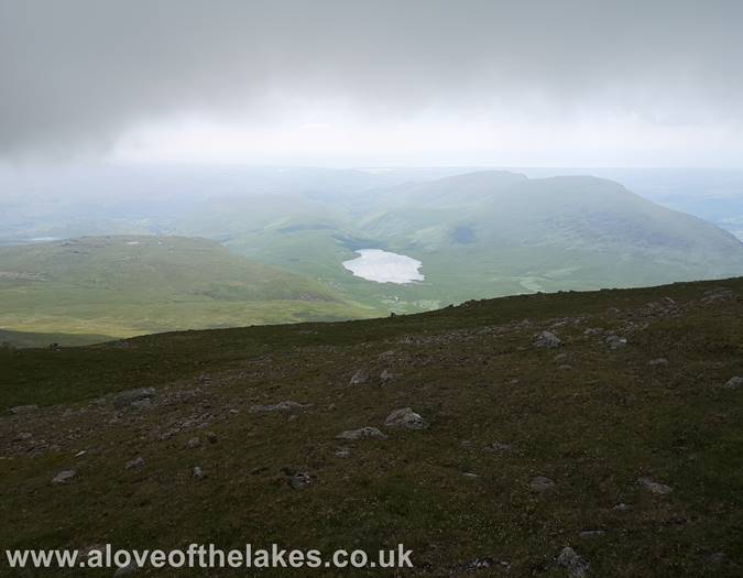
Looking back towards Burnmoor Tarn
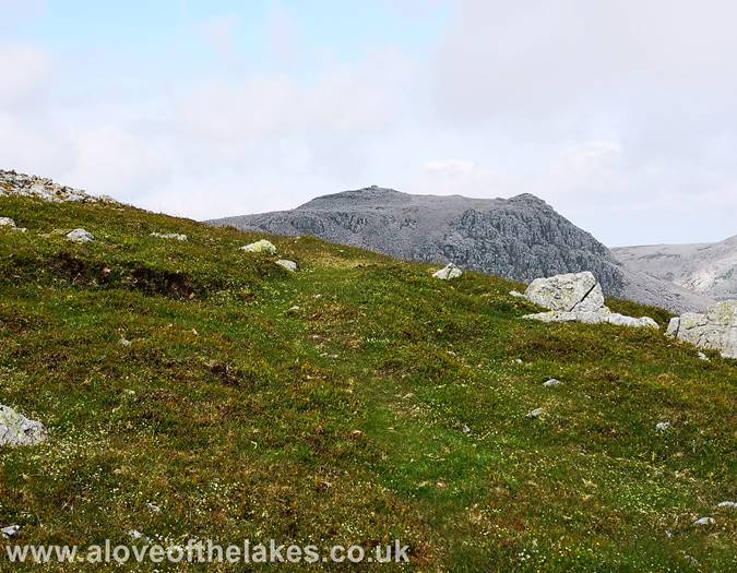
Looking back along our direction of travel from Slight Side as we hit the
boulder field on the upper reaches of Scafell
Almost at the top now and the first proper glimpse of Scafell Pike
At this point we are nearly at the summit and a magnificent view of
the South face of Great Gable
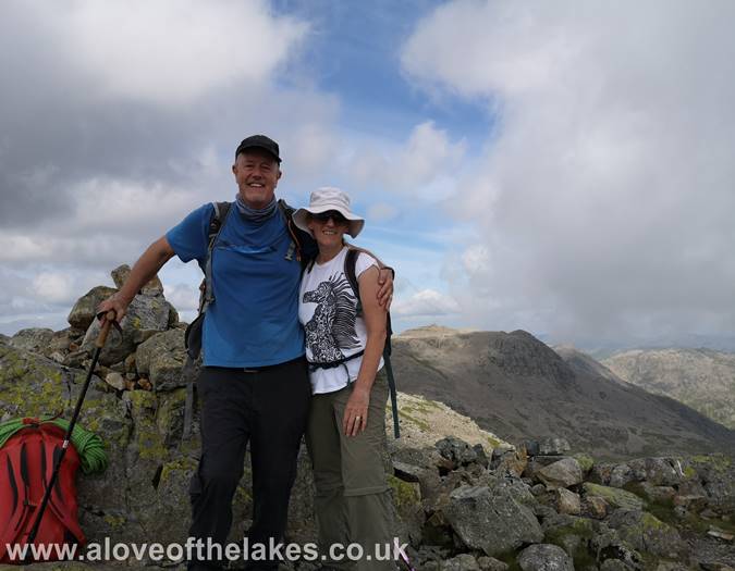
Made it !! - the second highest point in England. Click here for a 360 degree view
Looking across Mickledore to Scafell Pike
Close up on Great Gable - a magnificent mountain
A close up of Symonds Knott
Looking across to the Mosedale Horseshoe from Scafell summit
Looking down on Wast Water
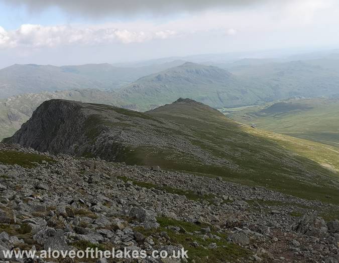
Journeying back down to Slight Side
Looking North to Bowfell from the path back down
Looking to Crinkle Crags from the path back down
A much clearer view now as we cross Quagrigg Moss towards Harter Fell
Journeying back home at the end of another day on the Lakeland Fells


