Terrain Overview
Walk Overview
The Brown Tongue route from the NT car park at Brackenclose offers nothing in
the way of navigational difficulties (just follow the crowds), however the physical
challenge of climbing to the highest point in England is something that every
Lakeland Fell walker does not decline.
At the main car park and camp site just before the start of the walk and the massive
bulk of Kirk Fell dominates the landscape
Brighter skies towards Scafell Crag and the route up Brown Tongue
The usual route from the NT car park follows the path that runs parallel
with Lingmell Gill
The Gill in full flow as things start to get a little steeper
Crossing Lingmell Gill to follow the path up to Hollow Stones
A low cloud base descends over Hollow Stones
Further up the track and this woman (part of a Fell race) was absolutely
flying over the boulders
A bit of decorative cairn building as the mist becomes even thicker
By far the best way to go up Scafell Pike (if you can find a willing volunteer)
Upon reaching Lingmell Col the track turns right and climbs steeply
After thirty minutes or so of strenuous slog .... A vision appears
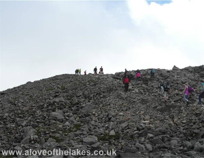
The last stage of the climb is over a boulder highway
The summit memorial plaque in honour of Lakeland`s War dead
The summit was heaving as usual as the mist closes in and hides all the views
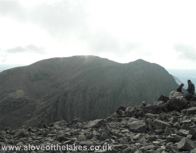
Looking across Mickledore to Scafell
Looking East towards Crinkle Crags and Bowfell
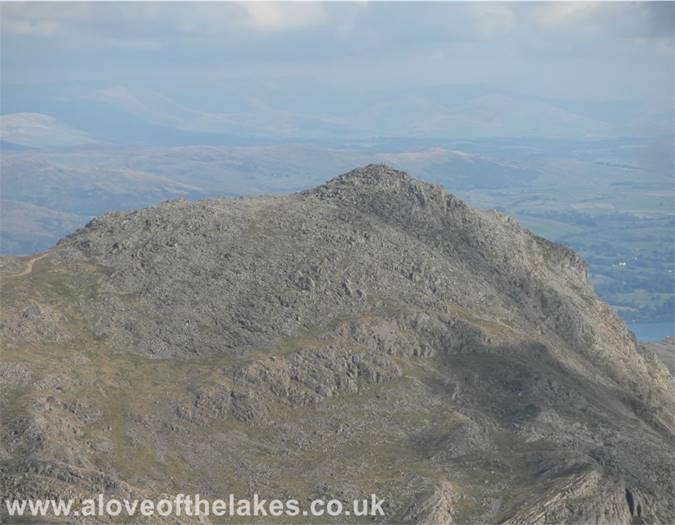
Close up on Bowfell
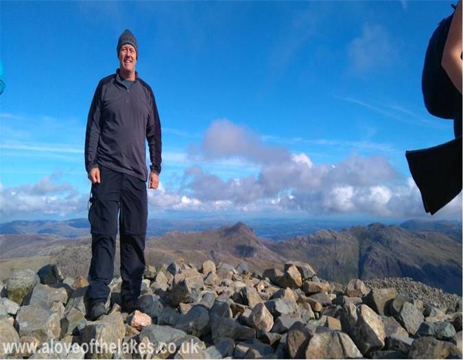
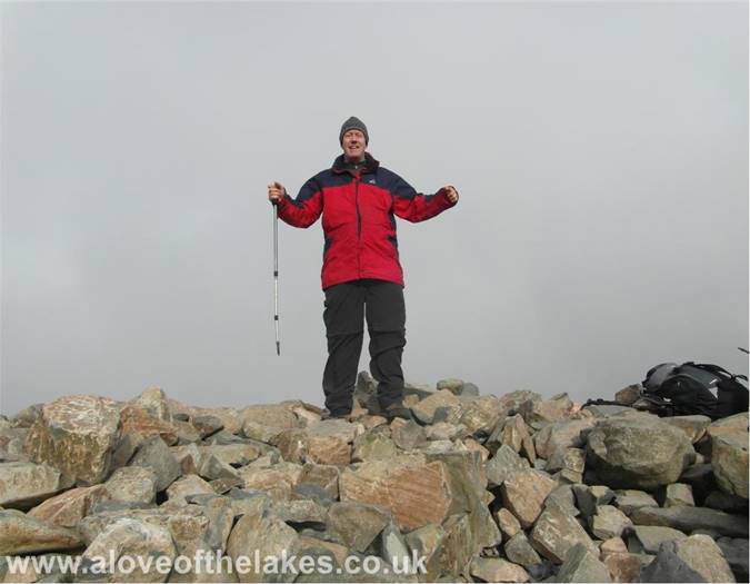
Me on the summit platform during a rare break in the cloud
No more than twenty minutes later and it`s back in the mist
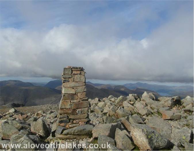
The summit trig point on Scafell Pike
Click here for a 360 degree view
Looking over Derwent Water towards Skiddaw
The Mosedale Horseshoe
I stayed on the summit for the best part of two hours and was rewarded
with some wonderful views once the clag had lifted
On the way back down before the light fades
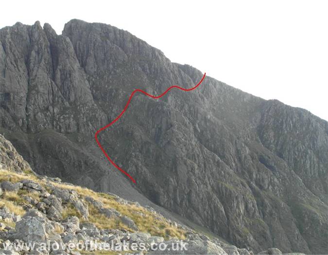
The Lords Rake path on Scafell
Wast Water in the early evening light
Nearly back down now as Kirk Fell starts to become shrouded in mist
And within minutes it was gone
Sunset in Wasdale at the end of a great day out in Lakeland


