Terrain Overview
Walk Overview
The good weather continued, so we decided to visit Wasdale to climb 3 Wainwrights
in total. The route from Greendale up to Middle Fell is steep but a good path
throughout. The views on top are expansive and hard to beat. The path from
Middle Fell to Seatallan is fairly straightforward with a steep climb to the summit.
The gently sloping path from Seatallan to Buckbarrow is a joy to walk on
As we approach Greendale, the classic view of Wasdale
There is ample free parking space at Greendale, and the walk starts here
just before you reach the hamlet
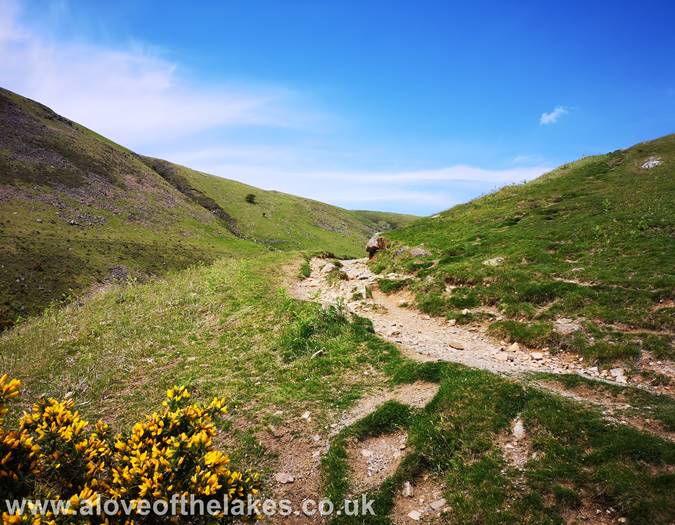
The path is fairly well defined throughout and leads directly to
the Southern shoulder of Middle Fell
Climb steeply initially until the path levels off. The route to the summit branches
off right up the foot holes. The main path carries onto Greendale Tarn
The right fork in the path that climbs the shoulder of Middle Fell
The path winds its way through a rocky outcrop
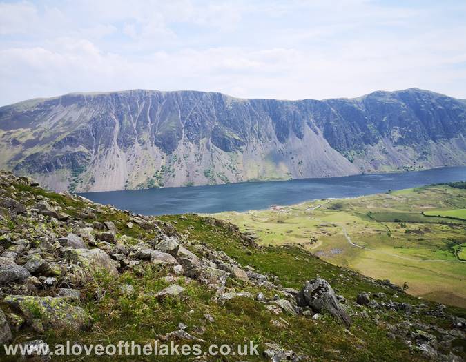
Looking back to the Wast Water screes from the path
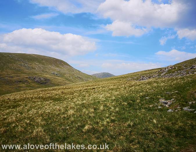
Further on up the climb and Seatallan and Haycock come into view
Eventually the path levels off and the views start to open up.
Here looking across to the Scafells
On the summit approach
The summit cairn comes into view
On the summit of Middle Fell. Click here for a 360 degree view
The screes from the summit
A close up of Yewbarrow from the summit with Kirk Fell and Great Gable
in the background
Scafell Pike (left) and Scafell (right) above Wast Water
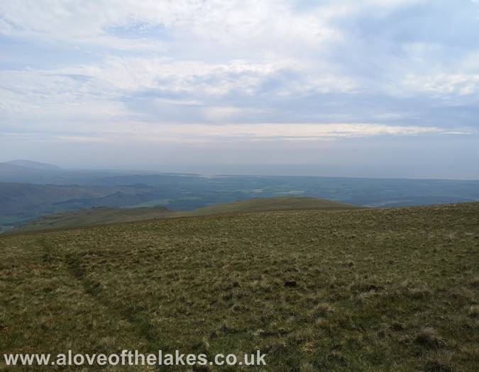
Looking out to the Irish Sea from the summit
The intended route of trave
There are a number of routes up to the top of Seatallan, we chose the more direct
route which climbs very steeply in the upper reaches, but is easy to follow
Approaching the steep part
Looking back to Greendale Tarn from the climb
The final steep section - gird the loins for 20 minutes hard work !!!
And then thankfully the summit cairn comes into view
Made it !! - Sue, Ste and Spud on the summit of Seatallan
Click here for a 360 degree view
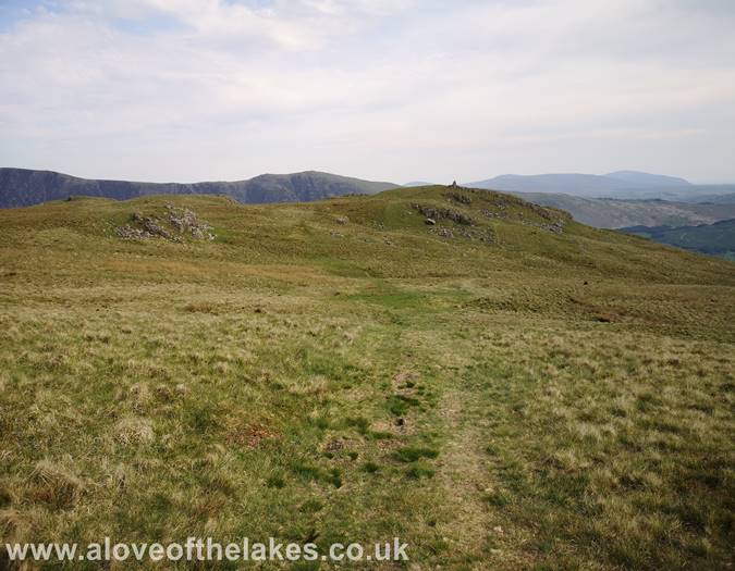
The path heading East to Buckbarrow
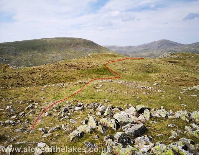
There`s no real right or wrong way to get to Buckbarrow, but to avoid losing
too much height head for the rise seen in the centre of the shot
At this point we are on the main track having cut across the Eastern flank
of Seatallan (Nether Wasdale Common). This leads to the marker cairn at Cat Bields
The marker cairn at Cat Bields. Click here for a 360 degree view
From Cat Bields it`s just a case of following the path down the slope
to the summit cairn on Glade How (Buckbarrow).
Click here for a 360 degree view
We follow the windy path down to Greendale, and here`s a shot looking
back to Buckbarrow


