Terrain Overview
Walk Overview
Our first walk of 2022 started with a "steep un" ... Whiteside from Lanthwaite Green
via Whin Benn is a good path throughout but is unremittingly steep. The upper
reaches have a degree of scree requiring a bit of rock handling. Great views on top
There is a free car parking at Lanthwaite Green with space for around a dozen
or so cars. This is the start point of the walk
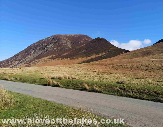
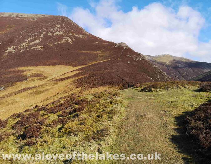
Whiteside and Whin Benn from the car park
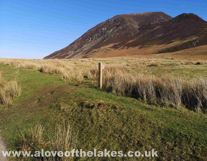
Cross the road and follow the sign posted grass path towards Gasgale Gill
Approaching the Gill. Whin Benn in the foreground is the first objective
Looking back towards Crummock Water towards Mellbreak
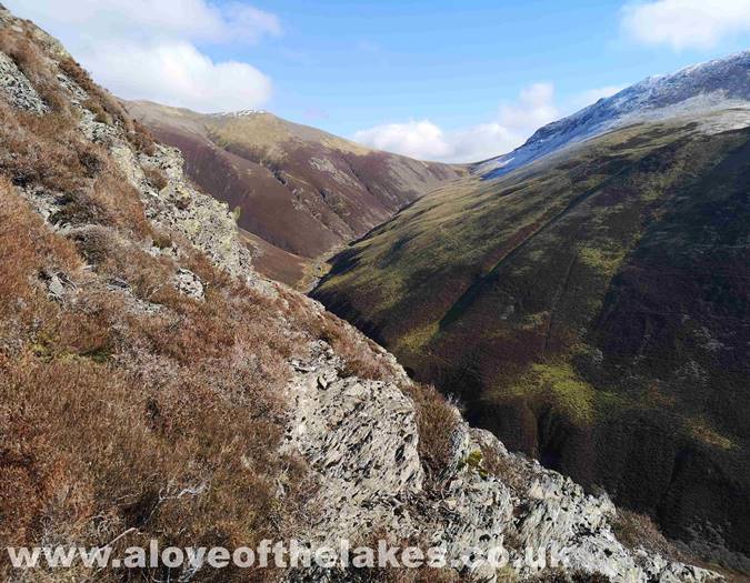
The Gill carves its way between Whiteside (l) and Grasmoor (r)
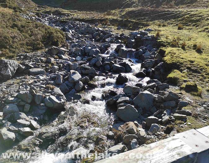
Cross the bridge over the Gill
Gasgale Gill
Follow the grassy path that is stepped to assist with the steepness
At a point where the path splits, take the left hand fork to begin the
climb to Whin Benn in earnest
Looking towards the massive bulk of Grasmoor
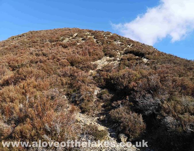
Starting to climb the steep slope up to Whin Benn
Sue and Spud climbing the steep path
We arrive at the top of Whin Benn and the path continues up to the rock outcrop
and is very easy to follow
The path cuts through an area of Gorse
The upper reaches of Gasgale Gill. At this point the path turns to loose scree
Brace yourself for a thirty minute tussle up loose scree
Looking back towards Mellbreak
Spud pauses for a breather and at this point a strong and freezing cold wind
gave us something else to think about
Approaching the upper reaches of the climb
Just before we approach the summit a view along the ridge to Hopegill Head
and beyond
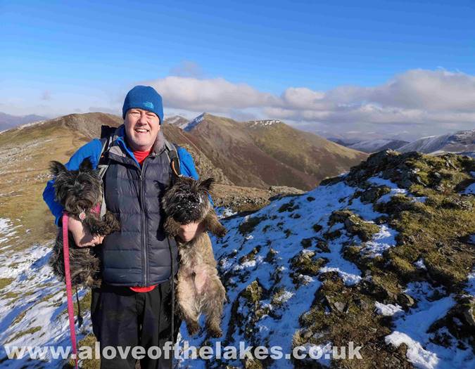
On the summit of Whiteside. Click here for a 360 degree view
Looking across Gasgale Gill towards Sail
Looking back from the summit
Yes Spud .. Dinner is on its way !!
The ridge path to Hopegill Head
Double trouble on the summit !!
Looking towards Crummock Water


